
Leading Resilience + Adaptation Planning around the Bay Area


San Francisco Waterfront Resilience Program: Flood Study – Draft Plan
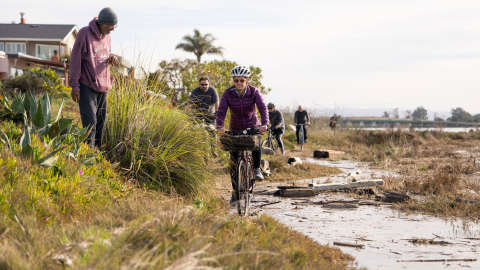
With the Port of San Francisco, U.S. Army Corps of Engineers, SITELAB Urban Studio, Pathways Climate Institute, and multi-disciplinary consultant team, we are working to reimagine and adapt San Francisco’s waterfront on the San Francisco Waterfront Resilience Program. The U.S. Army Corps of Engineers, Port of San Francisco, and City of San Francisco recently reached an important milestone for the San Francisco Waterfront Flood Study – the release of the Draft Plan.
The Draft Plan is part of the Flood Study, which analyzes the coastal flood risk and effects of sea level rise for the 7.5 miles of waterfront within the Port of San Francisco’s jurisdiction, from Aquatic Park to Heron’s Head. Reflecting more than six years of community engagement and public input, the Draft Plan proposes actions to defend the shoreline against rising sea levels and presents an environmental analysis of those actions.
The Draft Plan indicates approximately where to build coastal flood defenses and how much sea level rise future coastal flood defenses will manage before they need to be adapted to higher water levels.

OAAC is leading three adaptation projects: (1) Sub-regional Long-term Adaptation Plan; (2) Oakland-Alameda Estuary Adaptation Project; and (3) Bay Farm Island Adaptation Project.
OAAC ADAPT (Oakland-Alameda Adaptation Project(s))
We are thrilled to be working with the Oakland-Alameda Adaptation Committee (OAAC) and co-leading the effort with Pathways Climate Institute and Moffatt & Nichol to ensure the vitality and resilience of the Oakland-Alameda Estuary, San Leandro Estuary, and surrounding communities by working with a diverse group of cities, public agencies, and community organizations to address current and long-term coastal and inland flood risks.
The Oakland-Alameda Adaptation Project(s) is a first-of-its-kind, multi-jurisdictional subregional adaptation planning initiative across Oakland, Alameda, and San Leandro. The project will define adaptation strategies and develop a program of co-benefits that prioritize public access, open space, ecology, and nature-based solutions.

San Rafael Sea Level Rise Adaptation Plan
We are proud to announce that we will be collaborating with the City of San Rafael and Waggonner & Ball, a Moffatt & Nichol Studio, on San Rafael’s sea level rise adaptation planning effort.
With the project team, we will embark on a robust engagement program with underrepresented communities to improve understanding of sea level rise impacts and develop innovative design solutions. The team recently held a first community engagement event and will be holding a second workshop in October. This vital resilience work is supported by grant funds from the State Coastal Conservancy and the Governor’s Office of Policy & Research.